About Us: UAVisus Aviatics Solutions Inc. is a Transport Canada-registered RPAS training provider and flight school based in Edmonton, Alberta. We specialize in preparing pilots for Remotely Piloted Aircraft Systems (RPAS) operations under Canadian Aviation Regulations (CARs) Part IX. Our certified flight reviewers are Transport Canada-approved drone pilots who can administer flight reviews for Advanced Operations and Level 1 Complex Operations.
Our Mission: To provide exceptional, Transport Canada-compliant RPAS training and flight review services that empower pilots to operate safely, legally, and professionally. We are committed to advancing the standard of drone aviation in Canada through quality education, practical hands-on training, and unwavering adherence to regulatory standards.
Our Vision: To be Western Canada's leading RPAS academy and flight review authority-recognized for producing skilled, confident, and compliant drone pilots. We envision a future where every commercial RPAS operation in Canada is backed by UAVisus-trained professionals who exemplify safety, precision, and operational excellence.
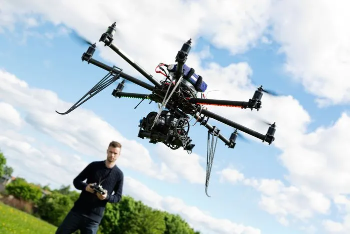
RPAS Pilot Training
Transport Canada-compliant ground school and practical flight training for Basic and Advanced RPAS Pilot Certification.
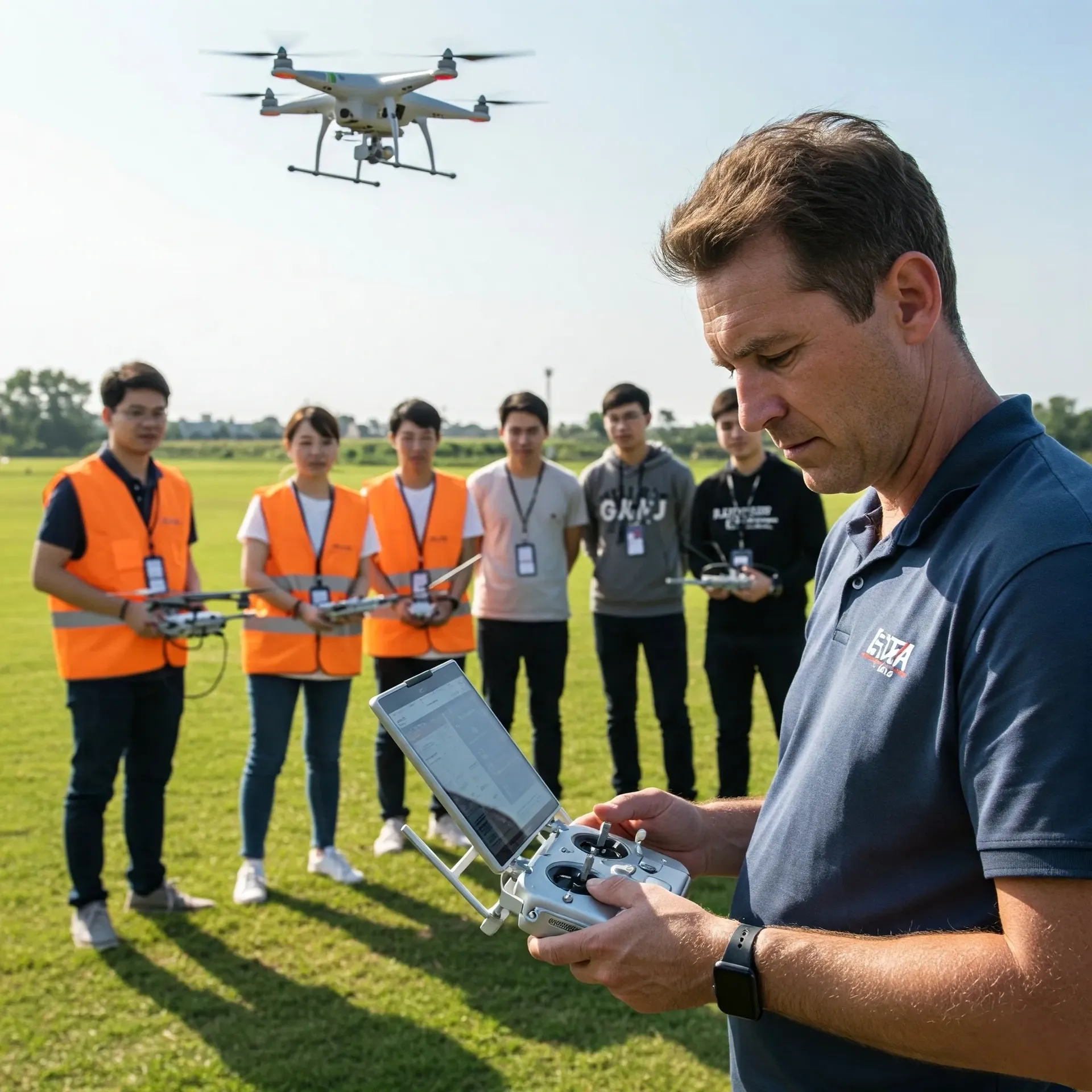
Flight Review
Transport Canada-approved flight reviews for Advanced Operations and Level 1 Complex Operations with your RPAS.
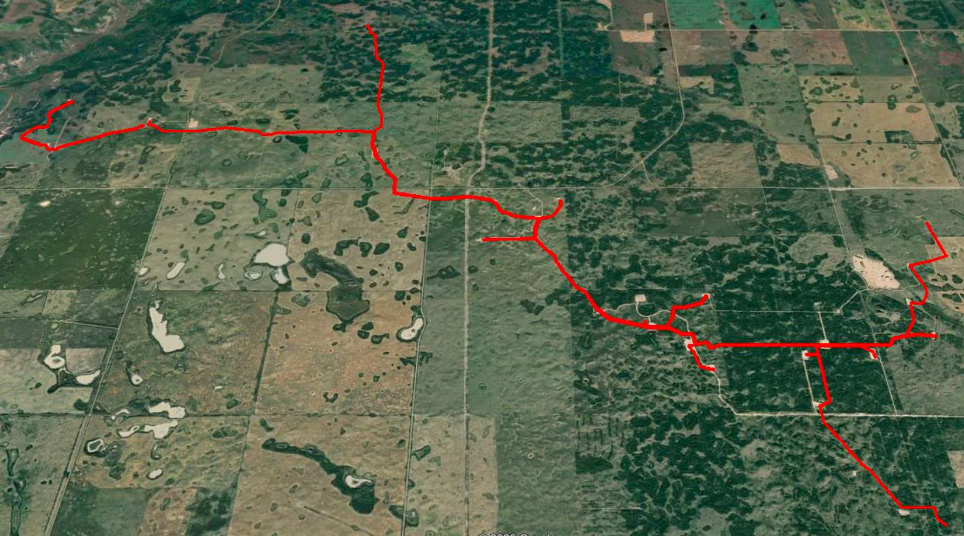
Aerial Survey
Professional aerial survey for agricultural insurance claim mapping and pipeline ROW vegetation monitoring.
Aerial Survey Services
Our professional RPAS-based aerial solutions support agricultural insurance verification, pipeline and corridor monitoring, site mapping, and more. With high-resolution imagery, georeferenced accuracy, and tailored analytics, we turn raw aerial data into actionable intelligence that drives efficiency and confidence in every decision.
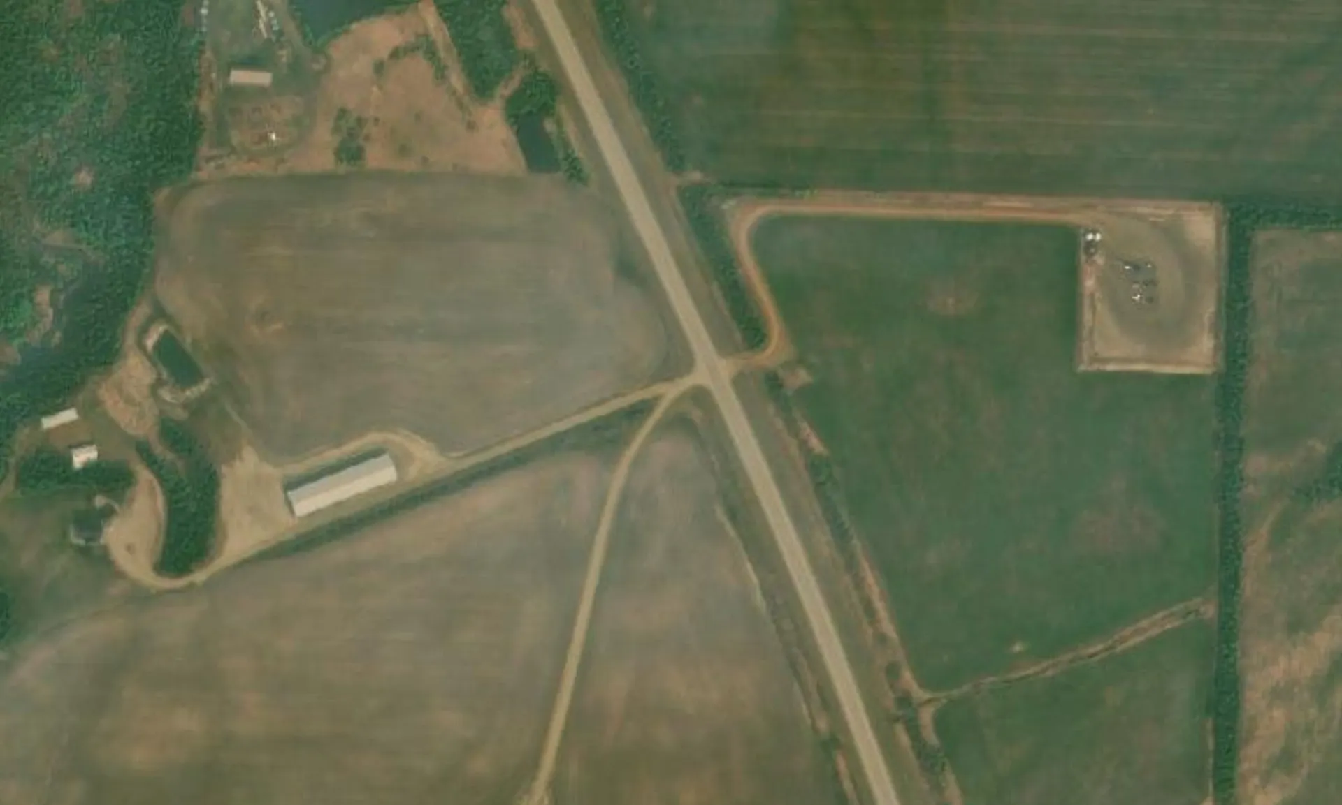
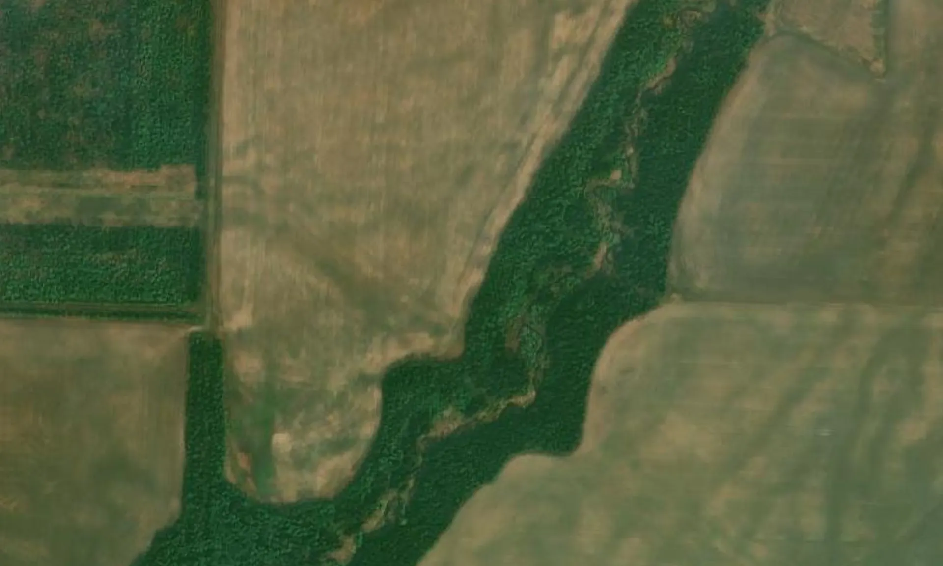
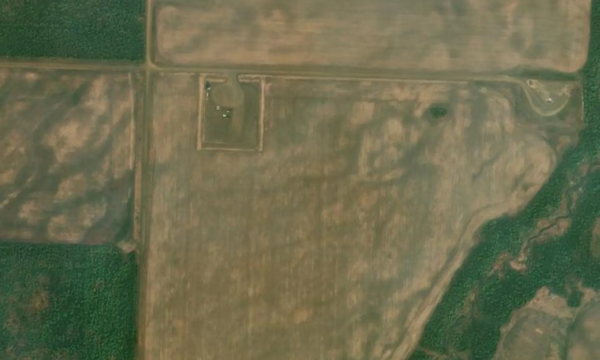
Agricultural Insurance Claim Survey
Crop Damage Assessment & Documentation
Our RPAS-based agricultural survey service provides insurance adjusters with precise, georeferenced aerial imagery of crop fields following hail damage, flooding, drought, or pest infestation. We deliver orthomosaic maps, NDVI crop health indices, and quantified damage area measurements that streamline the claims process.
- ✓ High-resolution orthomosaic field maps (2-5 cm/px GSD)
- ✓ NDVI crop health analysis and damage quantification
- ✓ Georeferenced data compatible with GIS systems
- ✓ Before/after comparison imagery for claim verification
- ✓ Rapid deployment — 24-48 hour turnaround
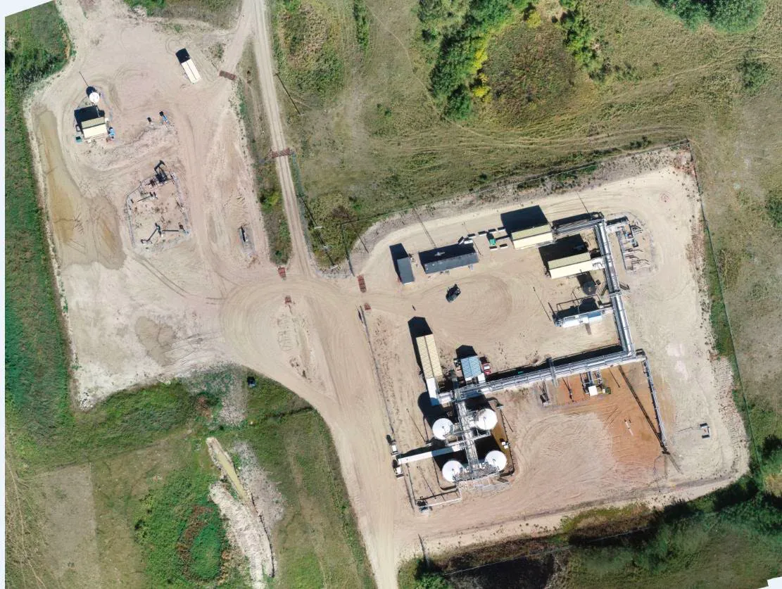
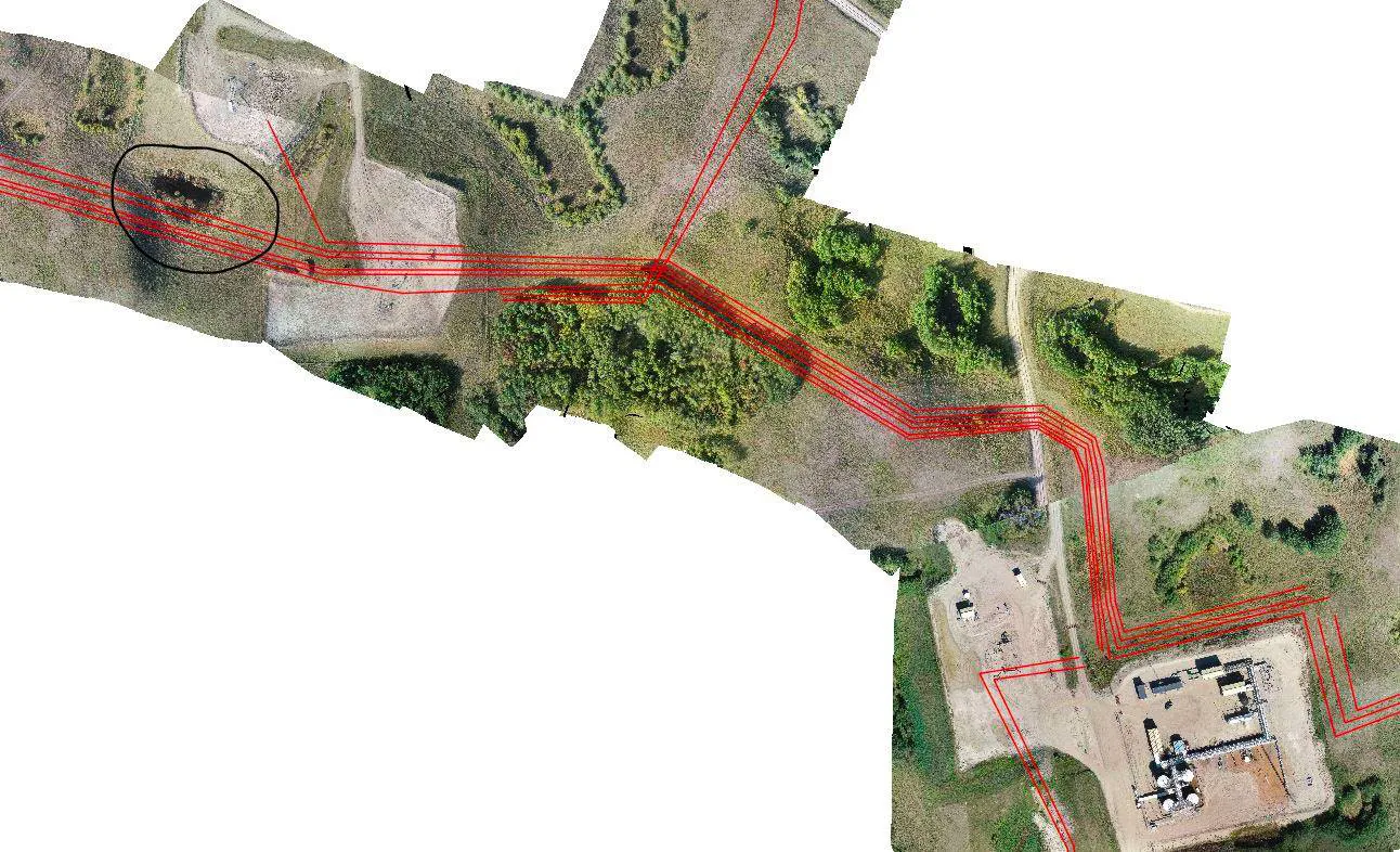
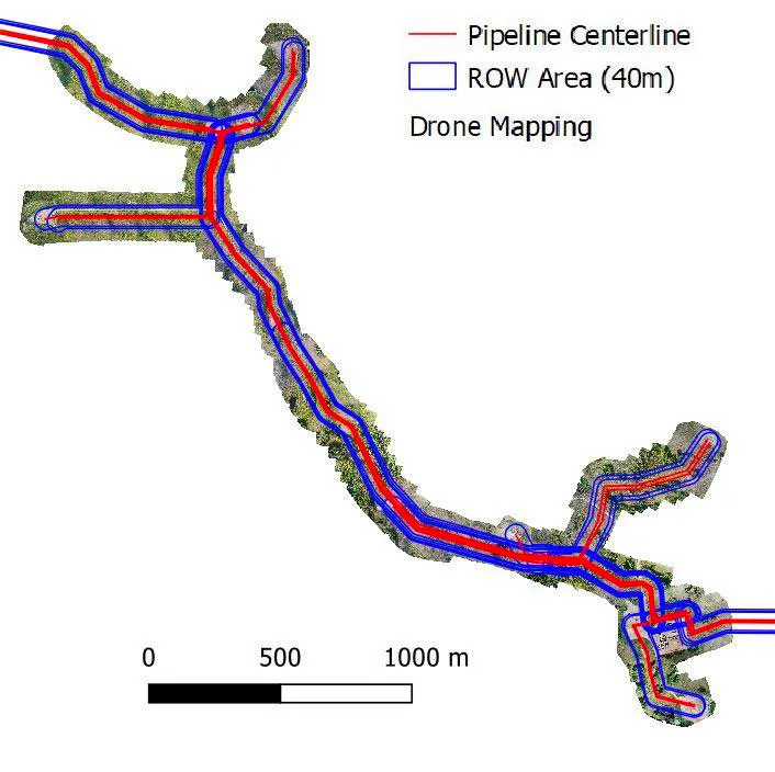
Pipeline ROW Vegetation Monitoring
Right-of-Way Encroachment & Corridor Surveillance
Regular aerial patrols of oil and gas pipeline right-of-ways (ROW) to monitor vegetation encroachment, erosion, ground movement, and third-party activity. Our RPAS surveys provide operators with current, high-resolution corridor data to maintain compliance and identify maintenance needs before they become critical issues.
- ✓ Automated corridor mapping with predefined flight plans
- ✓ Vegetation encroachment detection and growth rate analysis
- ✓ Erosion and ground displacement monitoring
- ✓ Third-party activity and unauthorized encroachment detection
- ✓ Before/after comparison reports for regulatory compliance
What You Receive
Every aerial survey project includes a comprehensive data package designed for immediate use by adjusters and pipeline operators.
Orthomosaic Maps
High-resolution, georeferenced mosaic maps of the entire survey area. Compatible with standard GIS software.
NDVI Analysis
Normalized Difference Vegetation Index maps showing plant health and damage areas with quantified measurements.
3D Terrain Models
Digital surface models and 3D point clouds providing elevation data and terrain analysis capabilities.
Survey Report
Comprehensive PDF report with findings, measurements, imagery, and recommendations. Ready for regulatory submission.
Available Courses
Browse our full catalog of Transport Canada-compliant RPAS training courses.
RPAS Ground School
Transport Canada-compliant ground school covering the knowledge requirements for both the Basic and Advanced RPAS Pilot Certificates, in accordance with TP 15263.
Commercial RPAS Operations
Comprehensive commercial drone operations course covering business setup, insurance, client management, operational compliance, hands-on flight training, and night operations endorsement.
Aerial Mapping & Surveying
Professional-grade mapping, surveying, and aerial imaging training. Learn flight planning for photogrammetry, data collection, camera techniques, and producing accurate maps, 3D models, and cinematic deliverables.
Flight Review Preparation
Focused preparation for the Transport Canada flight review. Review key maneuvers, procedures, and knowledge areas required to pass the review.
Why Train With UAVisus?
Transport Canada Registered
We are a registered RPAS training provider and flight school under Transport Canada regulations.
Approved Flight Reviewers
Our flight reviewers are Transport Canada-approved drone pilots authorized to administer flight reviews.
Online & Hands-On
Self-paced online ground school combined with hands-on practical flight training sessions.
Exam Prep Included
Practice exams with detailed explanations ensure you're ready to pass the Transport Canada knowledge tests.
Book a Flight Review
The flight review evaluates your practical flying skills and aeronautical knowledge as required by Transport Canada. Schedule your Transport Canada flight review with our approved reviewers. We administer flight reviews for Advanced Operations and Level 1 Complex Operations with your RPAS.
Ground Knowledge
Oral review of airspace, regulations, weather, emergency procedures, and RPAS systems.
Flight Demonstration
Demonstrate pre-flight inspection, takeoff, hovering, maneuvers, obstacle avoidance, and emergency procedures.
Certificate
Upon successful completion, you receive a signed flight review certificate for your Advanced RPAS application.
Flight Review Packages
Choose the review type that fits your needs, and we confirm your booking within 24 hours.
All reviews are conducted by Transport Canada-approved flight reviewers.
Frequently Asked Questions
What is an Advanced Flight Review?
An Advanced Flight Review is required for pilots seeking to obtain their Advanced RPAS Pilot Certificate under Canadian Aviation Regulations (CARs) Part IX. The review evaluates your ability to safely operate a drone in advanced operations, including controlled airspace, near bystanders, and in complex environments. Upon successful completion, you receive a signed flight review certificate that can be submitted to Transport Canada as part of your Advanced Operations endorsement application.
What is a Level 1 Complex Flight Review?
A Level 1 Complex Flight Review is designed for pilots who need to conduct complex RPAS operations beyond standard advanced operations. This includes operations in specialized scenarios such as BVLOS (Beyond Visual Line of Sight) prerequisites, operations over urban areas, or operations requiring higher levels of risk mitigation. The review assesses advanced aeronautical decision-making, risk management, and the ability to handle complex flight scenarios in compliance with Transport Canada requirements for Level 1 Complex Operations.
Do I need to bring my own drone?
You can bring your own RPAS or use one of ours for an additional fee. If you bring your own, it must be registered and have valid insurance.
What happens if I don't pass?
If you don't pass, we'll provide detailed feedback on areas to improve. You can retake the review at a reduced rate.
How long is the flight review valid?
The flight review certificate is valid for 24 months from the date of completion, as per Transport Canada requirements.
Where is the review conducted?
Reviews are conducted at our training facility in Edmonton, Alberta, or at an approved flying site near you. Contact us for location options.
Office Address
Phone
Hours
Saturday: 9:00 AM – 1:00 PM MST
Sunday: Closed
Submit a Request
We'll get back to you within 24 hours.